WV2474 : Pleinmont - Rocky Coastline
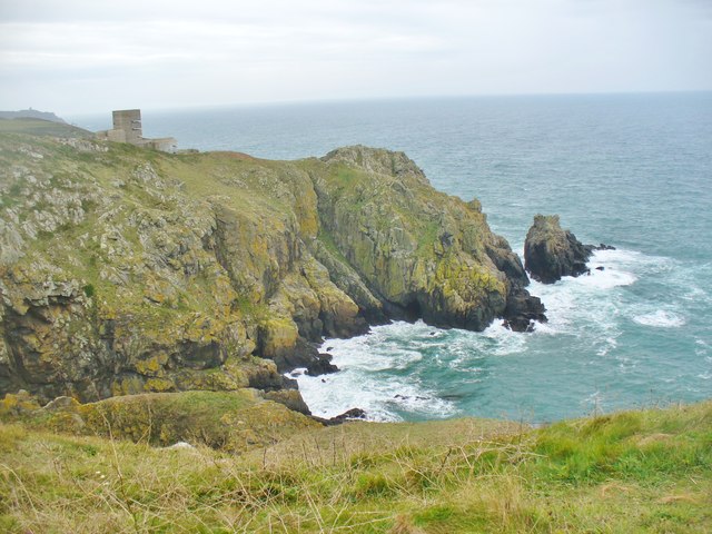
Pleinmont - Rocky Coastline
![Creative Commons Licence [Some Rights Reserved]](http://s0.geograph.org.gg/img/somerights20.gif)
year taken
2015
| Find out how to reuse this Image For example on your webpage, blog, a forum, or Wikipedia. | |||||
| Suggest an Update to this Image | Contact the contributor | ||||
- Grid Square
- WV2474, 6 images (more nearby)
- Photographer
- Colin Smith (find more nearby)
- Image classification
- Geograph
- Date Taken
- Monday, 5 October, 2015 (more nearby)
- Submitted
- Monday, 19 October, 2015
- Category
- Cliffs (more nearby)
- Subject Location
-
MGRS:
 WV 2437 7462 [10m precision]
WGS84: 49:25.4260N 2:39.8373W - Photographer Location
-
MGRS: WV 2417 7484
- View Direction
- Southeast (about 135 degrees)