WV6047 : Descent to Ouaisné Bay
Descent to Ouaisné Bay
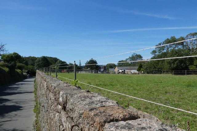
Looking along Le Mont du Ouaisné as it starts to descend to sea level.
![Creative Commons Licence [Some Rights Reserved]](http://s0.geograph.org.gg/img/somerights20.gif)
year taken
2019
| Find out how to reuse this Image For example on your webpage, blog, a forum, or Wikipedia. | |||||
| Suggest an Update to this Image | Contact the contributor | ||||
- Grid Square
- WV6047, 9 images (more nearby)
- Photographer
- DS Pugh (find more nearby)
- Image classification
- Geograph
- Date Taken
- Friday, 30 August, 2019 (more nearby)
- Submitted
- Thursday, 21 May, 2020
- Category
- Road (more nearby)
- Subject Location
-
MGRS:
 WV 6022 4739 [10m precision]
WGS84: 49:10.5817N 2:10.4250W - Photographer Location
-
MGRS: WV 60240 47395
- View Direction
- West-southwest (about 247 degrees)