WV6355 : Farmland and Freemont Point
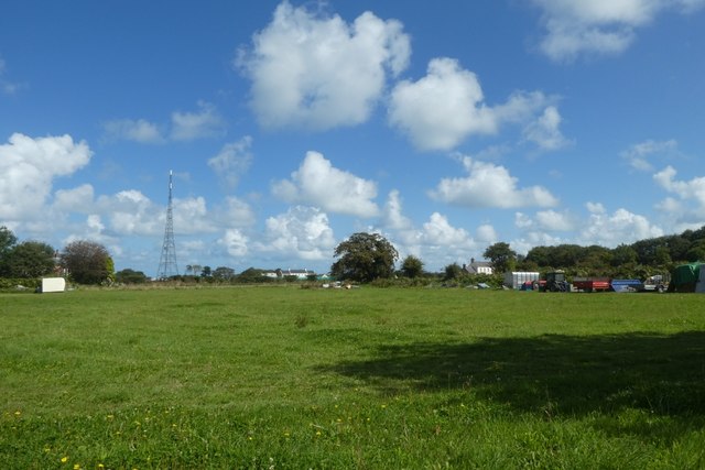
Farmland and Freemont Point
Looking across fields near St. John to Freemont Point UHF.
![Creative Commons Licence [Some Rights Reserved]](http://s0.geograph.org.gg/img/somerights20.gif)
year taken
2019
| Find out how to reuse this Image For example on your webpage, blog, a forum, or Wikipedia. | |||||
| Suggest an Update to this Image | Contact the contributor | ||||
- Grid Square
- WV6355, 23 images (more nearby)
- Photographer
- DS Pugh (find more nearby)
- Image classification
- Geograph
- Date Taken
- Sunday, 1 September, 2019 (more nearby)
- Submitted
- Friday, 22 May, 2020
- Category
- Farmland (more nearby)
- Subject Location
-
MGRS:
 WV 6315 5522 [10m precision]
WGS84: 49:14.7896N 2:7.9394W - Photographer Location
-
MGRS: WV 63121 55135
- View Direction
- North-northeast (about 22 degrees)