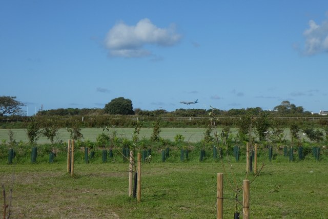
WV5950 : Farmland and aircraft landing
Farmland and aircraft landing
Looking over fields towards Jersey Airport from Route de Francfief.
![Creative Commons Licence [Some Rights Reserved]](http://s0.geograph.org.gg/img/somerights20.gif)
year taken
2019
| Find out how to reuse this Image For example on your webpage, blog, a forum, or Wikipedia. | |||||
| Suggest an Update to this Image | Contact the contributor | ||||
- Grid Square
- WV5950, 8 images (more nearby)
- Photographer
- DS Pugh (find more nearby)
- Image classification
- Supplemental image
- Date Taken
- Sunday, 1 September, 2019 (more nearby)
- Submitted
- Friday, 22 May, 2020
- Category
- Farmland (more nearby)
- Subject Location
-
MGRS:
 WV 5922 5012 [10m precision]
WGS84: 49:12.0609N 2:11.2240W - Photographer Location
-
MGRS: WV 59237 49945
- View Direction
- NORTH (about 0 degrees)