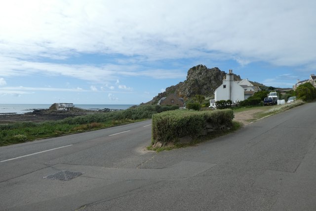
WV5454 : Road junction in La Porte

Road junction in La Porte
The lower road is Route des Havres and the upper Mont du Vallette.
year taken
2019
- Grid Square
- WV5454, 44 images (more nearby)
- Photographer
- DS Pugh (find more nearby)
- Image classification
- Geograph
- Date Taken
- Tuesday, 3 September, 2019 (more nearby)
- Submitted
- Monday, 25 May, 2020
- Category
- Village (more nearby)
- Subject Location
-
MGRS:
 WV 5487 5455 [10m precision]
WGS84: 49:14.4759N 2:14.7702W - Photographer Location
-
MGRS:
 WV 54892 54544
 - View Direction
- West-northwest (about 292 degrees)
![Creative Commons Licence [Some Rights Reserved]](http://s0.geograph.org.gg/img/somerights20.gif)