WV5848 : Le Mont Sohier
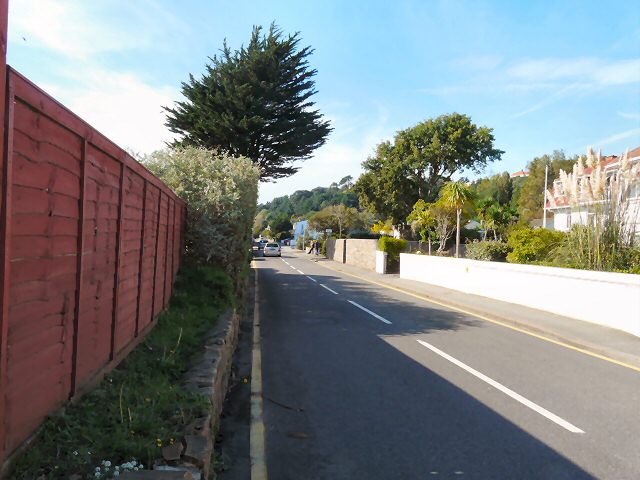
Le Mont Sohier
The main road at St Brelade's Bay.
![Creative Commons Licence [Some Rights Reserved]](http://s0.geograph.org.gg/img/somerights20.gif)
year taken
2010
| Find out how to reuse this Image For example on your webpage, blog, a forum, or Wikipedia. | |||||
| Suggest an Update to this Image | Contact the contributor | ||||
- Grid Square
- WV5848, 47 images (more nearby)
- Photographer
- Gerald England (find more nearby)
- Image classification
- Geograph
- Date Taken
- Friday, 8 October, 2010 (more nearby)
- Submitted
- Monday, 15 November, 2010
- Category
- Road (more nearby)
- Subject Location
-
MGRS:
 WV 5857 4837 [10m precision]
WGS84: 49:11.1202N 2:11.7747W - Photographer Location
-
MGRS: WV 5859 4837
- View Direction
- WEST (about 270 degrees)