WV4775 : Creux harbour, Sark, at high tide
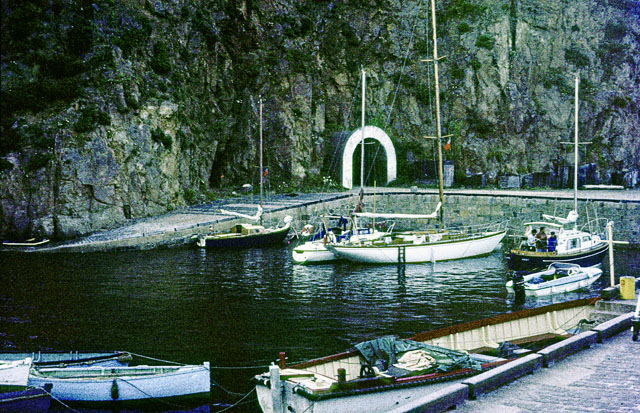
Creux harbour, Sark, at high tide
This sheltered harbour is used by local boats.
![Creative Commons Licence [Some Rights Reserved]](http://s0.geograph.org.gg/img/somerights20.gif)
year taken
1968
| Find out how to reuse this Image For example on your webpage, blog, a forum, or Wikipedia. | |||||
| Suggest an Update to this Image | Contact the contributor | ||||
- Grid Square
- WV4775, 13 images (more nearby)
- Photographer
- John Rostron (find more nearby)
- Image classification
- Geograph
- Date Taken
- 29 July 1968 (more nearby)
- Submitted
- Wednesday, 21 April, 2010
- Category
- Harbour (more nearby)
- Subject Location
-
MGRS:
 WV 4762 7554 [10m precision]
WGS84: 49:25.8400N 2:20.5956W - Photographer Location
-
MGRS: WV 4761 7548
- View Direction
- North-northeast (about 22 degrees)