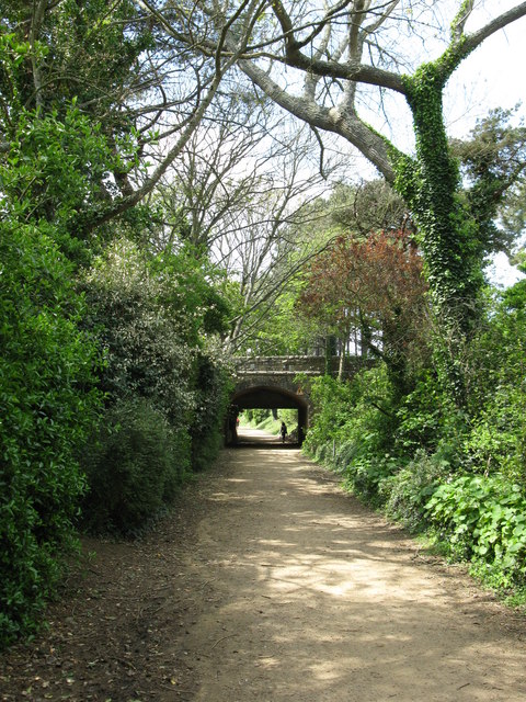
WV5849 : Corbiere Walk, Route de Quennevais bridge
Corbiere Walk, Route de Quennevais bridge
The Corbiere Walk follows the route of the railway track from St Aubin's to Corbiere. This bridge is close to the halfway point on the walk.
![Creative Commons Licence [Some Rights Reserved]](http://s0.geograph.org.gg/img/somerights20.gif)
year taken
2012
| Find out how to reuse this Image For example on your webpage, blog, a forum, or Wikipedia. | |||||
| Suggest an Update to this Image | Contact the contributor | ||||
- Grid Square
- WV5849, 3 images (more nearby)
- Photographer
- don (find more nearby)
- Image classification
- Geograph (First for WV5849)
- Date Taken
- Wednesday, 2 May, 2012 (more nearby)
- Submitted
- Monday, 7 May, 2012
- Category
- Path (more nearby)
- Subject Location
-
MGRS:
 WV 5836 4934 [10m precision]
WGS84: 49:11.6449N 2:11.9391W - Photographer Location
-
MGRS: WV 5844 4932
- View Direction
- West-northwest (about 292 degrees)