WV3080 : Route de Cobo
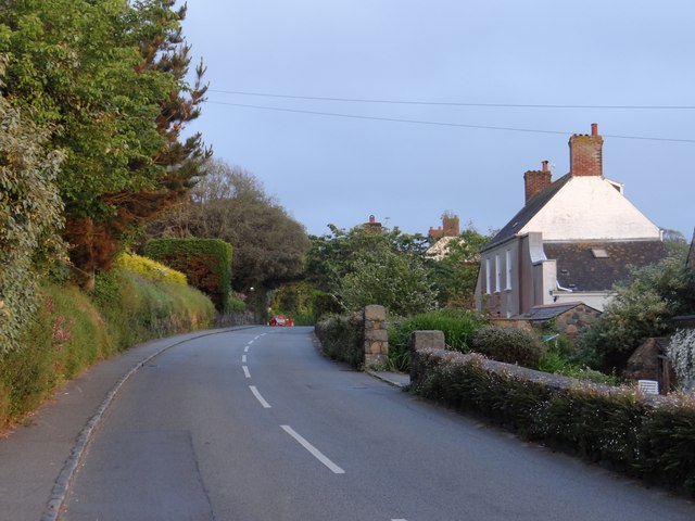
Route de Cobo
General view of the road heading towards St Peter Port.
![Creative Commons Licence [Some Rights Reserved]](http://s0.geograph.org.gg/img/somerights20.gif)
year taken
2012
| Find out how to reuse this Image For example on your webpage, blog, a forum, or Wikipedia. | |||||
| Suggest an Update to this Image | Contact the contributor | ||||
- Grid Square
- WV3080, 3 images (more nearby)
- Photographer
- Ian Paterson (find more nearby)
- Image classification
- Geograph
- Date Taken
- Wednesday, 30 May, 2012 (more nearby)
- Submitted
- Wednesday, 6 June, 2012
- Category
- Road (more nearby)
- Subject Location
-
MGRS:
 WV 3011 8009 [10m precision]
WGS84: 49:28.3627N 2:35.0634W - Photographer Location
-
MGRS: WV 3003 8016
- View Direction
- Southeast (about 135 degrees)