WA6008 : Path North from the Mannez Pond
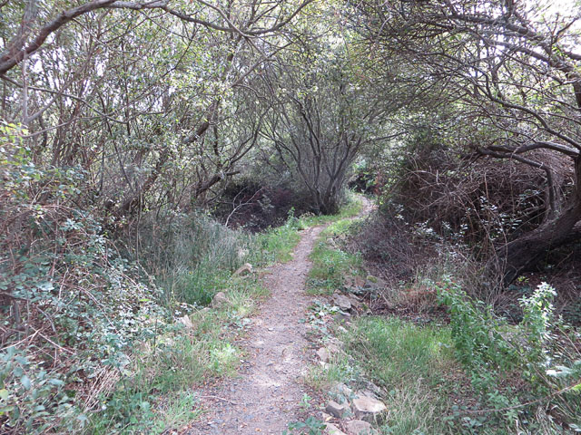
Path North from the Mannez Pond
A raised path through marshy ground.
![Creative Commons Licence [Some Rights Reserved]](http://s0.geograph.org.gg/img/somerights20.gif)
year taken
2012
| Find out how to reuse this Image For example on your webpage, blog, a forum, or Wikipedia. | |||||
| Suggest an Update to this Image | Contact the contributor | ||||
- Grid Square
- WA6008, 13 images (more nearby)
- Photographer
- John Rostron (find more nearby)
- Image classification
- Geograph
- Date Taken
- Saturday, 22 September, 2012 (more nearby)
- Submitted
- Sunday, 4 November, 2012
- Category
- Nature reserve (more nearby)
- Subject Location
-
MGRS:
 WA 6015 0863 [10m precision]
WGS84: 49:43.6296N 2:9.9247W - Photographer Location
-
MGRS: WA 6016 0860
- View Direction
- North-northwest (about 337 degrees)