WV6046 : Path down to Le Portelet
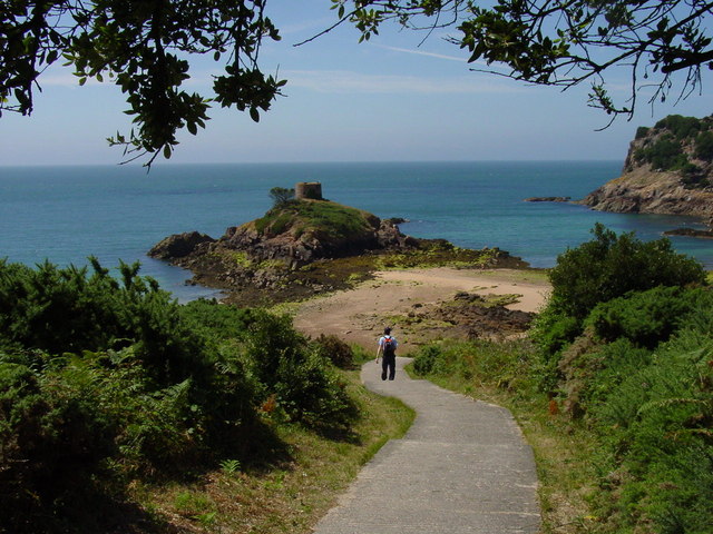
Path down to Le Portelet
![Creative Commons Licence [Some Rights Reserved]](http://s0.geograph.org.gg/img/somerights20.gif)
year taken
2005
| Find out how to reuse this Image For example on your webpage, blog, a forum, or Wikipedia. | |||||
| Suggest an Update to this Image | Contact the contributor | ||||
- Grid Square
- WV6046, 31 images (more nearby)
- Photographer
- Colin Park (find more nearby)
- Image classification
- Geograph
- Date Taken
- Thursday, 21 July, 2005 (more nearby)
- Submitted
- Tuesday, 27 April, 2010
- Category
- Path (more nearby)
- Subject Location
-
MGRS:
 WV 6012 4686 [10m precision]
WGS84: 49:10.2963N 2:10.5121W - Photographer Location
-
MGRS: WV 6016 4689
- View Direction
- West-southwest (about 247 degrees)