WV3980 : Port es Vallais
Port es Vallais
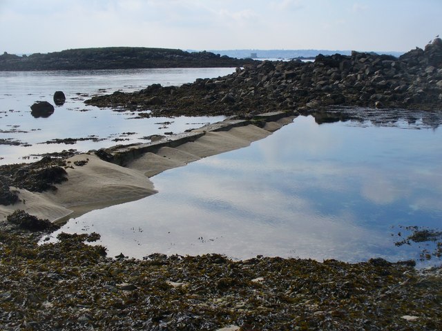
Short man-made barrier at Oyster Point on Herm's NW tip. The low islet in the middle distance (left) is Le Plat Houmet.
![Creative Commons Licence [Some Rights Reserved]](http://s0.geograph.org.gg/img/somerights20.gif)
year taken
2015
| Find out how to reuse this Image For example on your webpage, blog, a forum, or Wikipedia. | |||||
| Suggest an Update to this Image | Contact the contributor | ||||
- Grid Square
- WV3980, 25 images (more nearby)
- Photographer
- Colin Smith (find more nearby)
- Image classification
- Geograph
- Date Taken
- Saturday, 3 October, 2015 (more nearby)
- Submitted
- Thursday, 15 October, 2015
- Category
- Point (more nearby)
- Subject Location
-
MGRS:
 WV 3921 8093 [10m precision]
WGS84: 49:28.7848N 2:27.5223W - Photographer Location
-
MGRS: WV 3924 8094
- View Direction
- West-southwest (about 247 degrees)