WV3182 : Baie de Port Grat
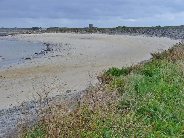
Baie de Port Grat
![Creative Commons Licence [Some Rights Reserved]](http://s0.geograph.org.gg/img/somerights20.gif)
year taken
2015
| Find out how to reuse this Image For example on your webpage, blog, a forum, or Wikipedia. | |||||
| Suggest an Update to this Image | Contact the contributor | ||||
- Grid Square
- WV3182, 2 images (more nearby)
- Photographer
- Colin Smith (find more nearby)
- Image classification
- Geograph
- Date Taken
- Wednesday, 7 October, 2015 (more nearby)
- Submitted
- Wednesday, 21 October, 2015
- Category
- Beach (more nearby)
- Subject Location
-
MGRS:
 WV 3191 8263 [10m precision]
WGS84: 49:29.7279N 2:33.5604W - Photographer Location
-
MGRS: WV 3176 8257
- View Direction
- East-northeast (about 67 degrees)