WV3378 : St Peter Port
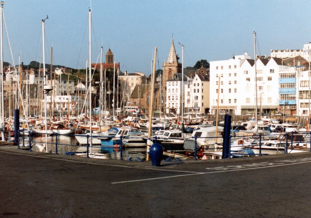
St Peter Port
From a scanned image taken in 1983.
![Creative Commons Licence [Some Rights Reserved]](http://s0.geograph.org.gg/img/somerights20.gif)
year taken
1983
| Find out how to reuse this Image For example on your webpage, blog, a forum, or Wikipedia. | |||||
| Suggest an Update to this Image | Contact the contributor | ||||
- Grid Square
- WV3378, 43 images (more nearby)
- Photographer
- Richard Hoare (find more nearby)
- Image classification
- Geograph
- Date Taken
- May 1983 (more nearby)
- Submitted
- Wednesday, 22 November, 2017
- Category
- Harbour (more nearby)
- Subject Location
-
MGRS:
 WV 3363 7812 [10m precision]
WGS84: 49:27.2884N 2:32.1583W - Photographer Location
-
MGRS: WV 3378 7816
- View Direction
- West-southwest (about 247 degrees)