WV6847 : La Rue de Jambart, St Clements
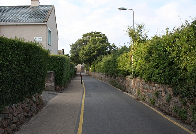
La Rue de Jambart, St Clements
This narrow road is the B49 connecting the A5 (St Clements to St Helier road) to the A4 coast road.
At the slow speeds allowed on the island of Jersey, sensible use of the available width is possible.
Vehicles and pedestrians can co-exist in harmony on the tarmac.
At the slow speeds allowed on the island of Jersey, sensible use of the available width is possible.
Vehicles and pedestrians can co-exist in harmony on the tarmac.
![Creative Commons Licence [Some Rights Reserved]](http://s0.geograph.org.gg/img/somerights20.gif)
year taken
2009
| Find out how to reuse this Image For example on your webpage, blog, a forum, or Wikipedia. | |||||
| Suggest an Update to this Image | Contact the contributor | ||||
- Grid Square
- WV6847, 13 images (more nearby)
- Photographer
- Bob Embleton (find more nearby)
- Image classification
- Geograph
- Date Taken
- Monday, 10 August, 2009 (more nearby)
- Submitted
- Monday, 24 May, 2010
- Category
- road (more nearby)
- Subject Location
-
MGRS:
 WV 6877 4704 [10m precision]
WGS84: 49:10.3389N 2:3.3909W - Photographer Location
-
MGRS: WV 6879 4710
- View Direction
- South-southwest (about 202 degrees)