WV2978 : Northern end of the path along Rue Paintain
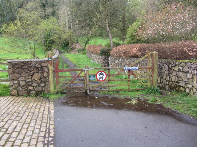
Northern end of the path along Rue Paintain
![Creative Commons Licence [Some Rights Reserved]](http://s0.geograph.org.gg/img/somerights20.gif)
year taken
2012
| Find out how to reuse this Image For example on your webpage, blog, a forum, or Wikipedia. | |||||
| Suggest an Update to this Image | Contact the contributor | ||||
- Grid Square
- WV2978, 3 images (more nearby)
- Photographer
- Colin Park (find more nearby)
- Image classification
- Geograph
- Date Taken
- Wednesday, 25 April, 2012 (more nearby)
- Submitted
- Tuesday, 1 May, 2012
- Category
- Footpath (more nearby)
- Subject Location
-
MGRS:
 WV 2923 7803 [10m precision]
WGS84: 49:27.2535N 2:35.8013W - Photographer Location
-
MGRS: WV 2925 7806
- View Direction
- Southwest (about 225 degrees)