WV6448 : Lat/Long in St. Helier
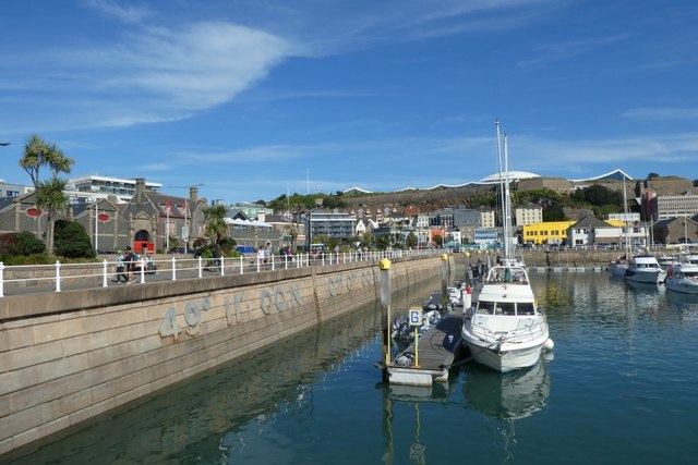
Lat/Long in St. Helier
Looking across part of the marina with the location shown in large digits.
![Creative Commons Licence [Some Rights Reserved]](http://s0.geograph.org.gg/img/somerights20.gif)
year taken
2019
| Find out how to reuse this Image For example on your webpage, blog, a forum, or Wikipedia. | |||||
| Suggest an Update to this Image | Contact the contributor | ||||
- Grid Square
- WV6448, 54 images (more nearby)
- Photographer
- DS Pugh (find more nearby)
- Image classification
- Geograph
- Date Taken
- Thursday, 29 August, 2019 (more nearby)
- Submitted
- Wednesday, 20 May, 2020
- Category
- marina (more nearby)
- Subject Location
-
MGRS:
 WV 6482 4814 [10m precision]
WGS84: 49:10.9583N 2:6.6314W - Photographer Location
-
MGRS: WV 64757 48154
- View Direction
- East-southeast (about 112 degrees)