WV6049 : Descending Le Mont des Vignes
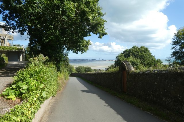
Descending Le Mont des Vignes
Looking down the hill with the bay between St. Aubin and St. Helier ahead.
![Creative Commons Licence [Some Rights Reserved]](http://s0.geograph.org.gg/img/somerights20.gif)
year taken
2019
| Find out how to reuse this Image For example on your webpage, blog, a forum, or Wikipedia. | |||||
| Suggest an Update to this Image | Contact the contributor | ||||
- Grid Square
- WV6049, 9 images (more nearby)
- Photographer
- DS Pugh (find more nearby)
- Image classification
- Geograph
- Date Taken
- Sunday, 1 September, 2019 (more nearby)
- Submitted
- Friday, 22 May, 2020
- Category
- Road (more nearby)
- Subject Location
-
MGRS:
 WV 6079 4976 [10m precision]
WGS84: 49:11.8574N 2:9.9343W - Photographer Location
-
MGRS: WV 60740 49773
- View Direction
- East-southeast (about 112 degrees)