WV6055 : Field near Le Chemin des Hougues
Field near Le Chemin des Hougues
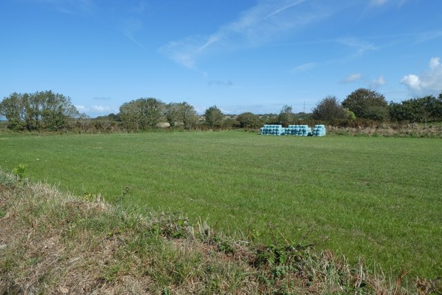
Looking across a field to a stack of bales. In the distance Freemont Point UHF can clearly be seen.
![Creative Commons Licence [Some Rights Reserved]](http://s0.geograph.org.gg/img/somerights20.gif)
year taken
2019
| Find out how to reuse this Image For example on your webpage, blog, a forum, or Wikipedia. | |||||
| Suggest an Update to this Image | Contact the contributor | ||||
- Grid Square
- WV6055, 22 images (more nearby)
- Photographer
- DS Pugh (find more nearby)
- Image classification
- Geograph
- Date Taken
- Monday, 2 September, 2019 (more nearby)
- Submitted
- Saturday, 23 May, 2020
- Category
- Farmland (more nearby)
- Subject Location
-
MGRS:
 WV 6064 5573 [10m precision]
WGS84: 49:15.0800N 2:10.0037W - Photographer Location
-
MGRS: WV 60610 55716
- View Direction
- East-northeast (about 67 degrees)