WV6350 : Bottom reservoir
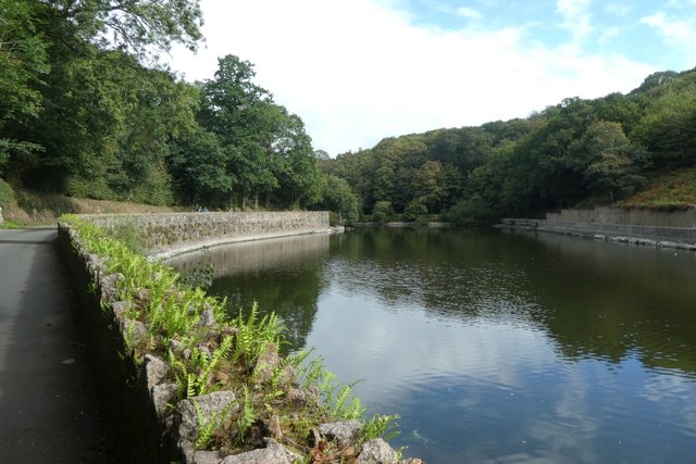
Bottom reservoir
The lowest of several reservoirs in this valley.
![Creative Commons Licence [Some Rights Reserved]](http://s0.geograph.org.gg/img/somerights20.gif)
year taken
2019
| Find out how to reuse this Image For example on your webpage, blog, a forum, or Wikipedia. | |||||
| Suggest an Update to this Image | Contact the contributor | ||||
- Grid Square
- WV6350, 3 images (more nearby)
- Photographer
- DS Pugh (find more nearby)
- Image classification
- Geograph
- Date Taken
- Tuesday, 3 September, 2019 (more nearby)
- Submitted
- Sunday, 24 May, 2020
- Category
- Reservoir (more nearby)
- Subject Location
-
MGRS:
 WV 6305 5063 [10m precision]
WGS84: 49:12.3132N 2:8.0651W - Photographer Location
-
MGRS: WV 63042 50581
- View Direction
- NORTH (about 0 degrees)