WV6053 : Farm near a crossroads
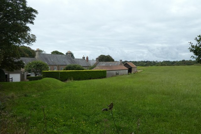
Farm near a crossroads
Looking towards a farm from the meeting of La Dimerie, Rue de la Rosière, Route de la Rosière and Rue de la Vallée.
![Creative Commons Licence [Some Rights Reserved]](http://s0.geograph.org.gg/img/somerights20.gif)
year taken
2019
| Find out how to reuse this Image For example on your webpage, blog, a forum, or Wikipedia. | |||||
| Suggest an Update to this Image | Contact the contributor | ||||
- Grid Square
- WV6053, 6 images (more nearby)
- Photographer
- DS Pugh (find more nearby)
- Image classification
- Geograph
- Date Taken
- Tuesday, 3 September, 2019 (more nearby)
- Submitted
- Sunday, 24 May, 2020
- Category
- Farm (more nearby)
- Subject Location
-
MGRS:
 WV 6034 5352 [10m precision]
WGS84: 49:13.8891N 2:10.2710W - Photographer Location
-
MGRS: WV 60372 53534
- View Direction
- West-southwest (about 247 degrees)