WV5652 : Farmland beside Chemin du Moulin
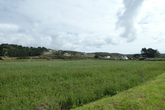
Farmland beside Chemin du Moulin
Looking across fields between L'Étacq and Bethesda.
![Creative Commons Licence [Some Rights Reserved]](http://s0.geograph.org.gg/img/somerights20.gif)
year taken
2019
| Find out how to reuse this Image For example on your webpage, blog, a forum, or Wikipedia. | |||||
| Suggest an Update to this Image | Contact the contributor | ||||
- Grid Square
- WV5652, 10 images (more nearby)
- Photographer
- DS Pugh (find more nearby)
- Image classification
- Geograph
- Date Taken
- Tuesday, 3 September, 2019 (more nearby)
- Submitted
- Monday, 25 May, 2020
- Category
- Farmland (more nearby)
- Subject Location
-
MGRS:
 WV 5673 5247 [10m precision]
WGS84: 49:13.3432N 2:13.2548W - Photographer Location
-
MGRS: WV 56634 52483
- View Direction
- EAST (about 90 degrees)