WV5553 : Lewis's Tower
Lewis's Tower
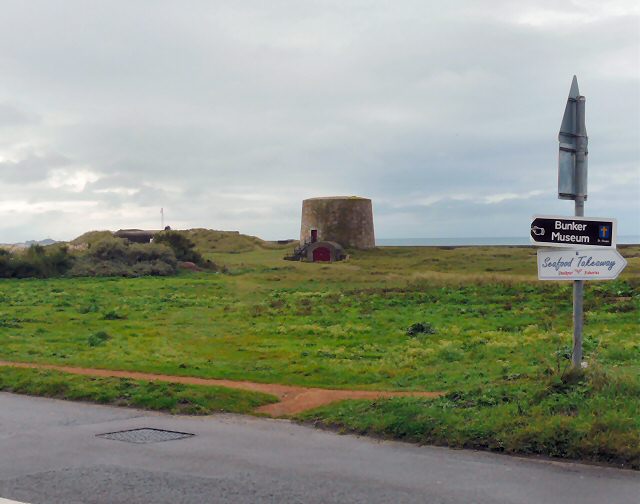
The end of the Five Mile Road at Les Laveurs. To the right is a flagpole marking the Channel Islands Military Museum. Centre is Lewis's Tower.
Lewis's Tower stands on the site where, during the Prince of Nassau's attempeted invasion in 1779, Rector du Parq had placed his cannon to attack the French forces as they tried to land. In 1787 a more permanent structure was built to house three 24-pounder cannon. It was replaced in 1835 by a true Mortello tower named in honour of Col. G G Lewis, the commanding officer of the Royal Engineers. During the Occupation the Germans built a concrete extension at its base to house a searchlight.
The tower is available as a holiday let. Split over three levels, it provides basic stone hut accommodation with electricity and lighting but is not connected to any other utilities. It can accommodate up to ten people overnight in sleeping bags although only three day beds are provided.
![Creative Commons Licence [Some Rights Reserved]](http://s0.geograph.org.gg/img/somerights20.gif)
year taken
2010
| Find out how to reuse this Image For example on your webpage, blog, a forum, or Wikipedia. | |||||
| Suggest an Update to this Image | Contact the contributor | ||||
- Grid Square
- WV5553, 34 images (more nearby)
- Photographer
- Gerald England (find more nearby)
- Image classification
- Geograph
- Date Taken
- Monday, 4 October, 2010 (more nearby)
- Submitted
- Wednesday, 20 October, 2010
- Category
- Tower (more nearby)
- Subject Location
-
MGRS:
 WV 5572 5335 [10m precision]
WGS84: 49:13.8237N 2:14.0796W - Photographer Location
-
MGRS: WV 5578 5343
- View Direction
- Southwest (about 225 degrees)