WV7152 : St Catherine's Breakwater
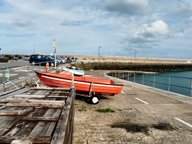
St Catherine's Breakwater
St. Catherine's Breakwater is all that exists of a projected "refuge" harbour for the Royal Navy. It was intended to be used as a forward base in the event of a blockade of the French coast. The harbour was designed during the period of Anglo-French rivalry during the 1840s, and work began on the North breakwater in 1847. It was finished in 1855, by which time Britain and France were fighting as allies against the Russians, and the planned Southern breakwater was never completed.
The breakwater provides shelter from south-westerly to north winds. The bottom of the harbour is mud and sand, and there is a landing slip at the base of the breakwater. It is now used mainly by leisure craft as a quiet anchorage. Fishermen use the long breakwater for catching conger eels, mackerel and bass.
Link
![Creative Commons Licence [Some Rights Reserved]](http://s0.geograph.org.gg/img/somerights20.gif)
year taken
2010
| Find out how to reuse this Image For example on your webpage, blog, a forum, or Wikipedia. | |||||
| Suggest an Update to this Image | Contact the contributor | ||||
- Grid Square
- WV7152, 30 images (more nearby)
- Photographer
- Gerald England (find more nearby)
- Image classification
- Geograph
- Date Taken
- Wednesday, 6 October, 2010 (more nearby)
- Submitted
- Wednesday, 3 November, 2010
- Category
- Breakwater (more nearby)
- Subject Location
-
MGRS:
 WV 7146 5289 [10m precision]
WGS84: 49:13.4774N 2:1.1145W - Photographer Location
-
MGRS: WV 7134 5287
- View Direction
- EAST (about 90 degrees)